|
Topographical Map

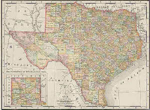
Political Map
Miami is SE from San Diego
Distance between Miami and San Diego = 2,650 miles


Mercator Projection-Mercator map was designed as an aid to navigators
since straight lines on the Mercator projection are loxodromes or rhumb lines -- representing lines of constant compass bearing
-- perfect for "true" direction.

Peters Projection- While the Peters projection does (almost) represent
land of equal area equally, all map projections distort the shape of the earth, a sphere.

Mount St. Helens

Crater Lake

Mount McKinley

Mississippi River

Lake Superior

Death Valley

Rocky Mountains

Yosemite Falls
|